


Sustainable, Professional Farming with Mechanical Weeding
Mechanical weeding offers wide agronomic benefits, enhancing soil health, nutrient availability, and plant growth.
Kubota | Electric Retrofit Kit for Excavators
Electrification enables zero emissions, quieter operations, and stable costs for eco-friendly performance.
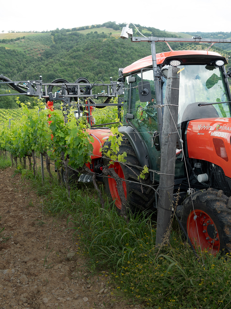
UV Boosting | Alternative to traditional fungicides
Plant protection using UV stimulation.

Kubota Engines | Innovative engine solutions
Kubota engine solutions contribute to carbon neutrality
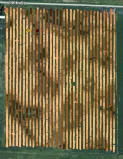
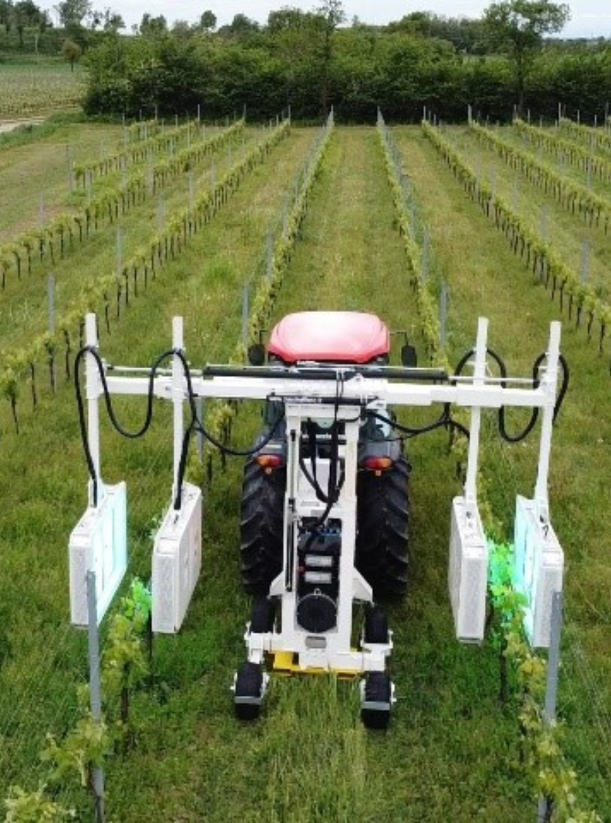
Kubota | Precise Vine Management
Combining crop sensing and state of the art technology in vineyards enhances vine and environmental health while improving crop quality and yield.
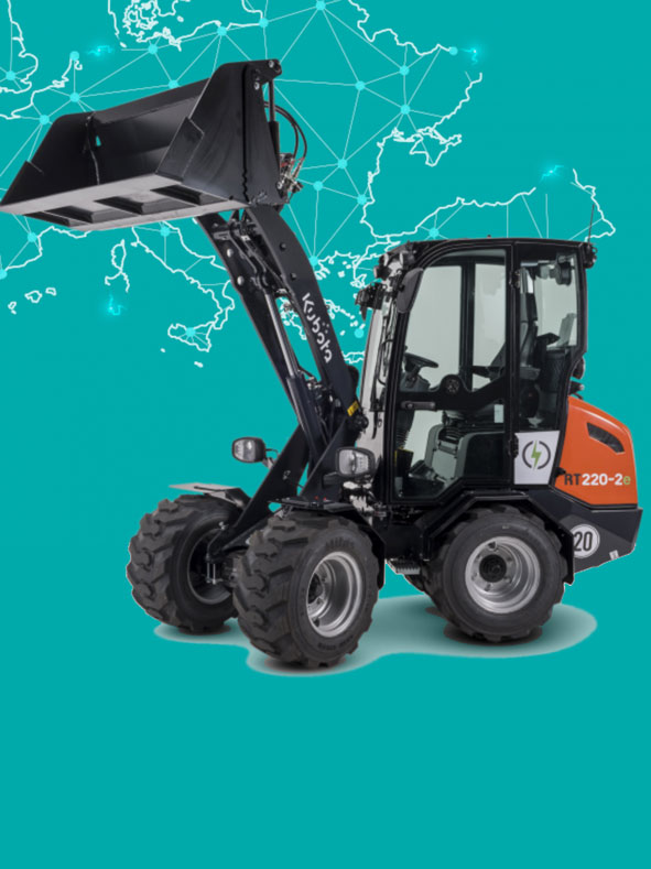
Kubota | Electric compact wheel loaders
Kubota electric wheel loaders offer high performance while producing zero carbon emissions.
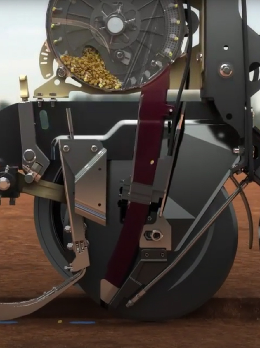
Great Plains | AccuShot precision seed fertiliser
The best start for each seed
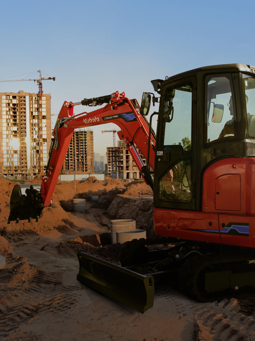
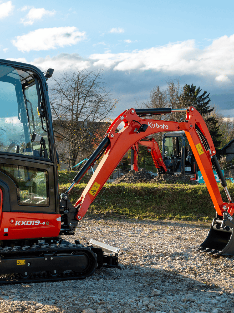
Kubota | Compact excavator KX38-4e
Building alternatives

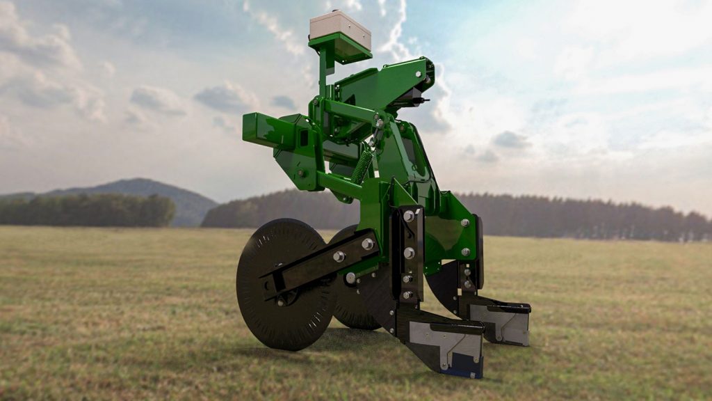
Kverneland | PUDAMA
100% yield with 25% less starter fertiliser!
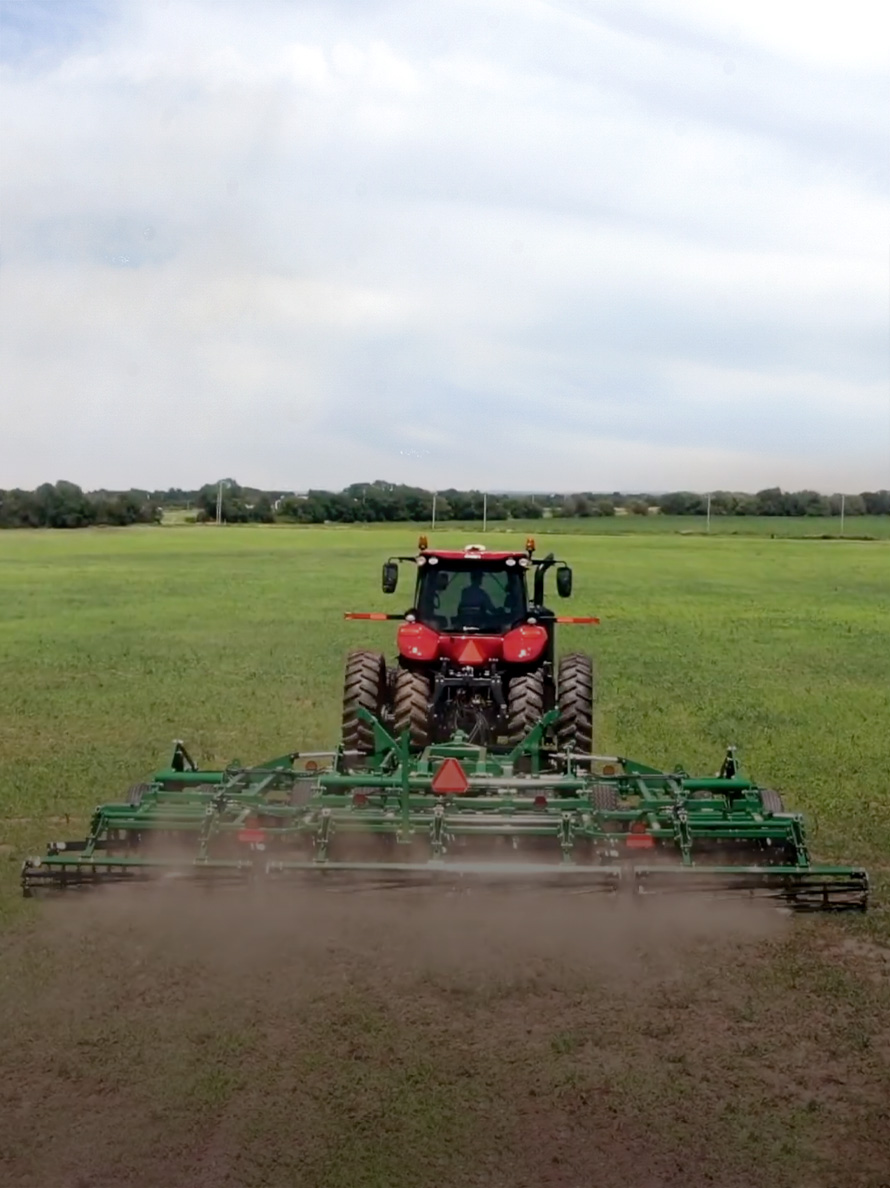
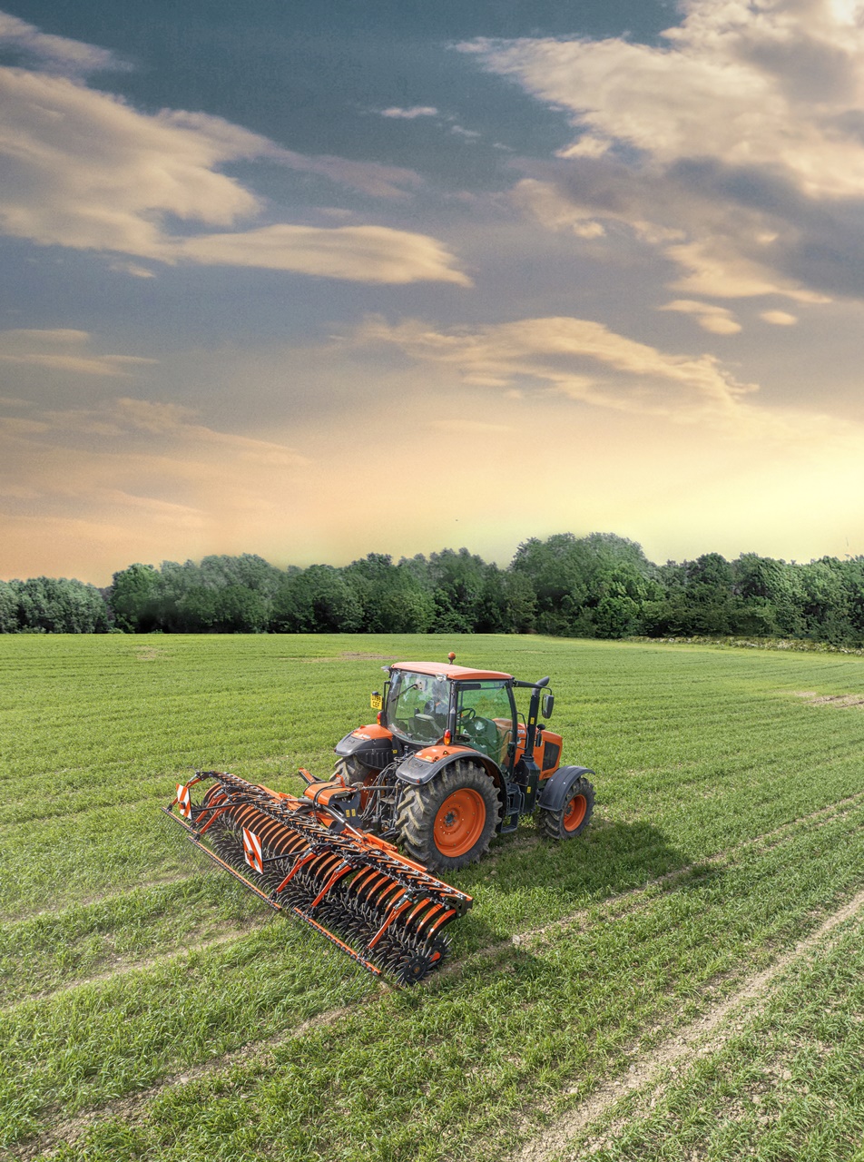
Great Plains | Implement Command
Improving tillage comfort

Kubota | LPG Mini-Excavator
Clean power
Kubota | E-powered Compact Tractor (LXe Series)
The mission: zero emissions

Kubota | Precision Tree Management
Drone imaging for better fruit crops